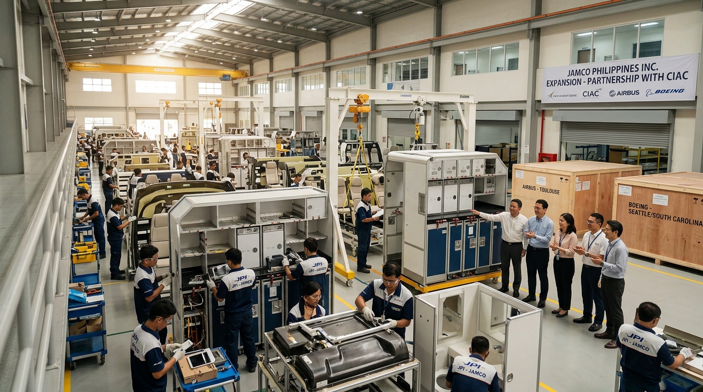
ILOILO CITY — Local government units from across Western Visayas gathered at Park Inn by Radisson Iloilo on June 23–24, 2026, for the second batch of the GeoRiskPH for Resilience Regional Training Workshop. The event armed 125 participants with digital tools that directly inform safer property development and land use planning.
Mapping Hazards Before Building Begins
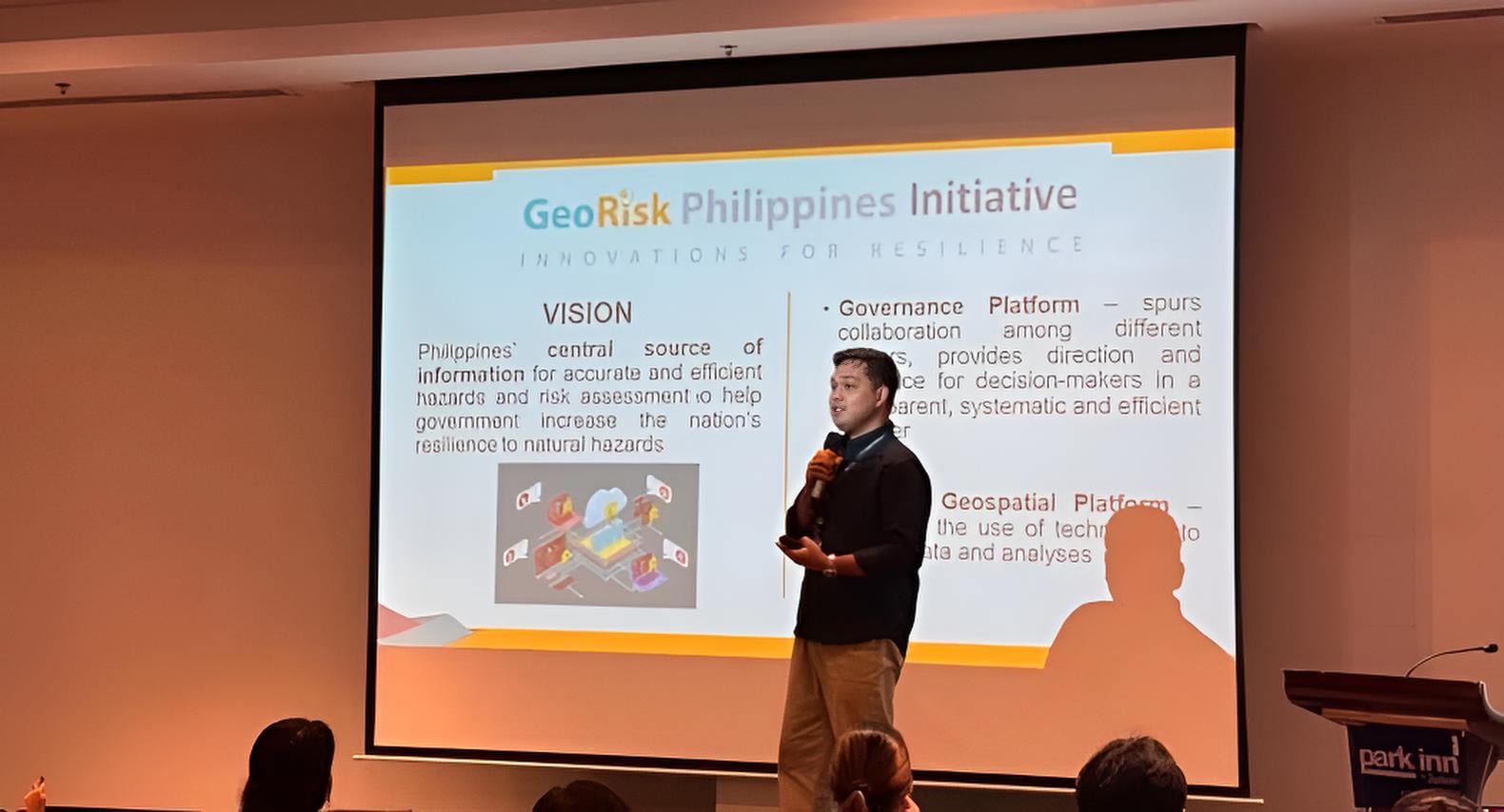
The training introduced participants to GeoMapperPH, a web and mobile application that digitizes building footprints, critical infrastructure, and vulnerable populations. For real estate stakeholders, accurate hazard data is the foundation of responsible development. Knowing where fault lines run and which slopes are landslide‑prone determines whether a project is viable or a liability.
DOST‑PHIVOLCS Director Dr. Teresito C. Bacolcol, in a recorded message, emphasized that hazard information must be accessible at the fingertips of every planner and decision‑maker. The GeoRiskPH platform consolidates multiple hazard layers into a single dashboard. Developers, brokers, and buyers all benefit when local governments base their zoning decisions on this scientific backbone.
Why Hazard Data Matters to Property Values
Properties built in areas with clear, scientifically validated safety profiles command higher market confidence. Insurance costs drop when structures are located away from identified flood zones and active fault lines. The training directly supports LGUs in producing the Comprehensive Disaster Risk Assessment required for updating local land use plans.
Without a credible risk assessment, entire barangays can be misclassified, exposing homeowners to hidden dangers and unexpected financial losses. The GeoRiskPH tools give municipalities the ability to generate detailed hazard reports for any location. For buyers, this means more transparent information before committing to a long‑term investment.
A Network of 65 Municipalities Acting Together
The 125 participants came from 65 LGUs spanning Aklan, Antique, Capiz, Iloilo, and Negros Occidental. The wide turnout signals that local governments recognize the urgency of science‑based planning. Training of Trainers completers from DOST Western Visayas, DOST Central Visayas, and the Iloilo Provincial DRRMO co‑facilitated the hands‑on exercises.
These facilitators remain embedded in the region, offering continuous technical support long after the workshop ends. The approach ensures that the skills learned do not fade but become institutionalized within each municipal planning office. For the real estate sector, this translates into a growing network of LGUs capable of maintaining accurate, current hazard maps.
From Digital Maps to Development Decisions
Participants practiced populating exposure databases that track schools, hospitals, evacuation centers, and utility lines. This granular data allows planners to visualize exactly which structures sit in high‑risk zones. Developers can use the same information to identify safer, more viable sites for residential subdivisions and commercial centers.
The GeoAnalyticsPH tool provides automated dashboards at the barangay level, simplifying complex geospatial data for councilors and mayors. When a municipality approves a new housing project, the decision can now be backed by real‑time hazard analytics. This reduces the likelihood of future displacement and costly retrofitting.
Disaster‑Proofing the Region’s Growth
The training forms part of the broader DRREALL‑TA Project, a joint initiative of DILG and DOST‑PHIVOLCS. The project aims to embed disaster readiness into the DNA of local governance. A third batch of participants is already scheduled for July, signaling sustained momentum.
For Western Visayas, a region that attracts both tourism and residential migration, climate resilience is a competitive advantage. LGUs that master these digital platforms will be better positioned to attract investment while safeguarding their communities. The GeoRiskPH training ensures that growth is built on ground that has been studied, mapped, and understood.