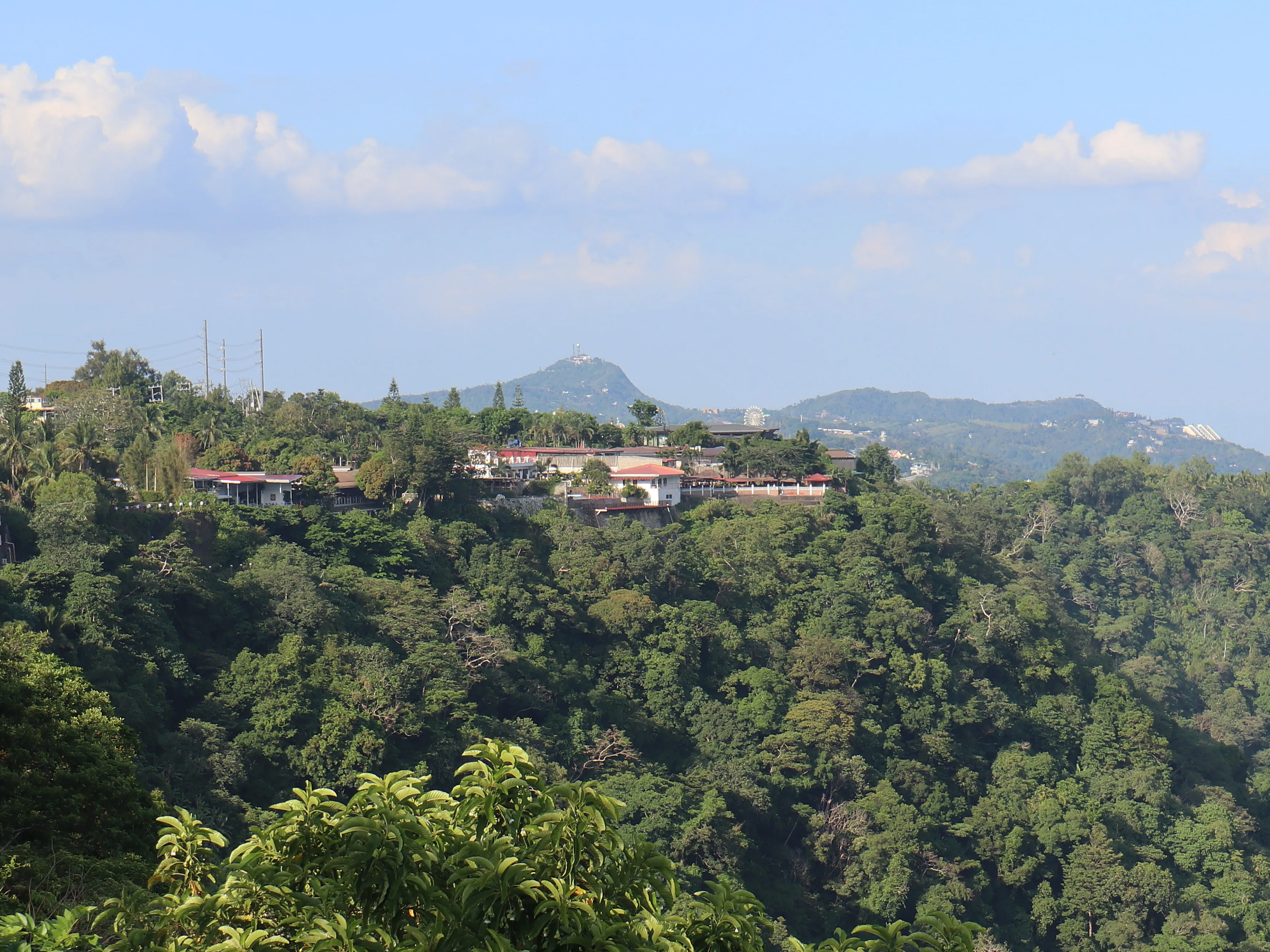
The Tagaytay Ridge, also known as the Tagaytay Range, is a 32-kilometer mountain range located at the southern part of the province of Cavite, Philippines, with elevations averaging about 600 meters above sea level. Stretching west-southwest from Mount Sungay to Mount Batulao in Batangas, the ridge overlooks the picturesque Taal Lake and serves as the northern rim of the expansive Taal Caldera.
A Volcanic Landscape Shaped by Collapse
The Tagaytay Ridge forms the northern rim of the Taal Caldera, a massive 25-kilometer by 30-kilometer wide depression created by the collapse of an ancient volcanic structure . This caldera is partially filled by Taal Lake, where the current vent structure of the volcano is situated near the lake's center . The ridge offers a commanding view of this unique volcanic landscape, which has been shaped by thousands of years of geological activity.
The northern slope of the ridge gradually descends to sea level at Manila Bay, offering a gentle roll compared to the rapid drop on its southern slopes and east of Mount Sungay. Along the lakeside, substantial escarpments of 20 meters or more, with almost vertical profiles, can be observed at specific locations, such as Mahabangato in Barangay Banga and Balitbiring in Barangay Caloocan, both in Talisay, Batangas.
A Geographic and Economic Corridor
The Tagaytay Ridge is part of the upland mountainous area of Cavite, encompassing the communities of Tagaytay (which was named after the ridge), Alfonso, Mendez, and parts of Amadeo, Indang, Magallanes, Maragondon, and Silang, which are situated at elevations above 400 meters with slopes of more than 2% . This upland region is characterized by its cool climate, making it suitable for high-value crops such as coffee, vegetables, and cut flowers.
The ridge also contains the Matang Tubig (Eye of the Water) spring, which is used for irrigation and to power a small hydroelectric plant. The 19th-century artesian spring produces approximately 3,000 gallons of water per minute, providing a vital water source for surrounding communities and agricultural areas . The ridge's elevation and proximity to Metro Manila have also made it a premier tourist destination, with Tagaytay City serving as the primary gateway to the ridge's panoramic views of Taal Lake and Volcano.