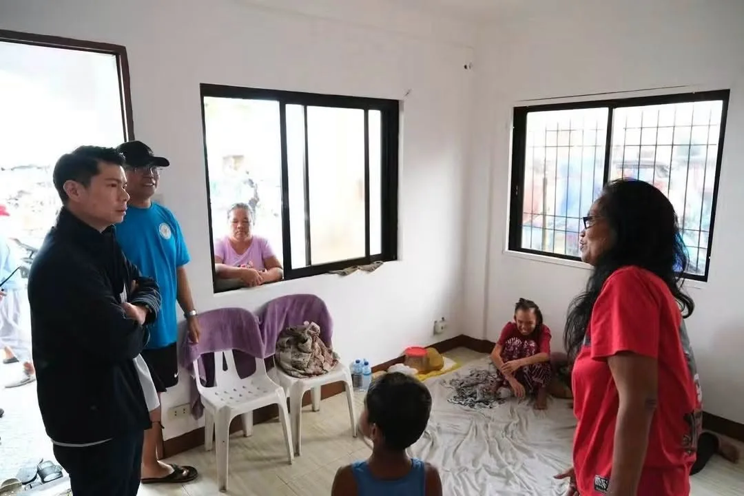
The City Government of Cavite, led by Mayor Denver Chua, has prepared its evacuation centers and community kitchen to ensure the safety of residents in coastal and low-lying areas as the southwest monsoon (habagat) continues to bring heavy rains to the province. As a peninsula bounded by Manila Bay, Cañacao Bay, and Bacoor Bay , Cavite City's coastal and low-lying communities are particularly vulnerable to flooding during severe weather events.
Preparedness Measures and Evacuation Sites
The Montano Gymnasium is fully ready to serve as a temporary shelter for displaced residents, while the Community Kitchen has been activated and prepared to cook meals for all evacuees. Mayor Denver Chua personally inspected various temporary shelters across coastal and low-lying communities to ensure they are prepared to accommodate residents who may need to evacuate.
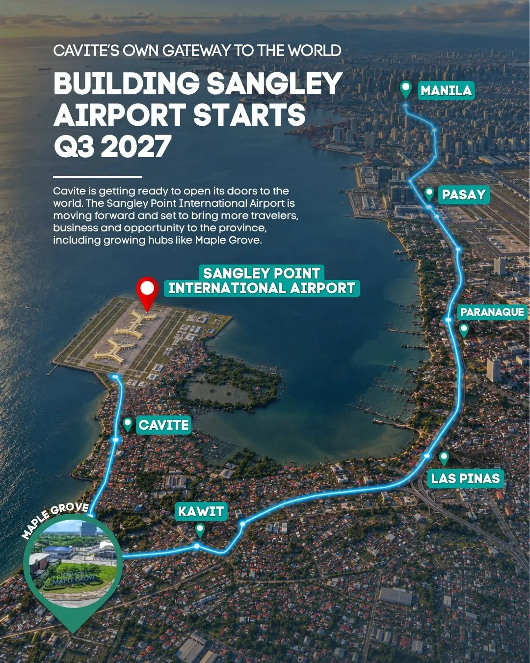
The City Government's preparedness measures are critical given Cavite City's geography. The city is located at the northern tip of Cavite province and is bounded by Manila Bay on the west and southwest, Cañacao Bay on the northeast, and Bacoor Bay on the southeast . Its coastal location makes it susceptible to storm surges and flooding during the southwest monsoon season. The city has a total area of 1,238.63 hectares , with much of its terrain characterized by an almost flat surface with slopes ranging from zero to three percent , which can contribute to flooding in low-lying areas during heavy rains.
Emergency Contact Information
For immediate emergency assistance, residents can contact the CDRRMO through the following channels:
Landline: (046) 484-9600
Landline: (046) 852-2967
Mobile: 0948-515-0632
Residents in coastal and low-lying areas are advised to monitor official updates from the City Government of Cavite and the Provincial Government regarding weather conditions, evacuations, and other emergency announcements. The CDRRMO urges residents to follow instructions from local authorities and evacuate immediately if advised to do so.