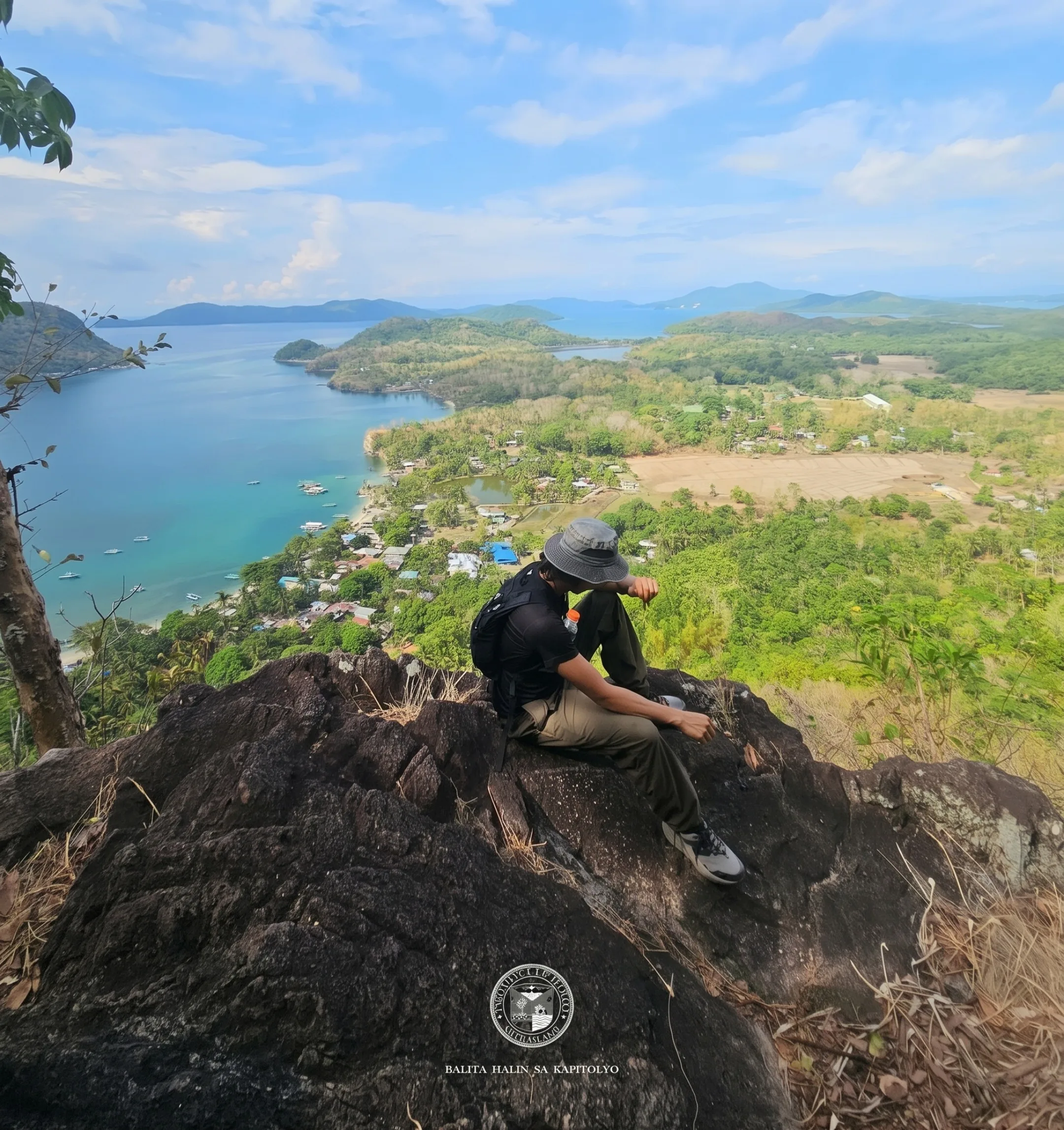
ILOILO — Rising dramatically from the turquoise waters of the Visayan Sea, Mt. Manaphag stands as an unmistakable symbol of natural grandeur off the coast of Concepcion, Iloilo. Towering over Pan de Azucar Island, this 573-meter peak is the highest point among the sixteen islands dotting the municipality's northeastern waters.
A Sentinel Rising from the Sea
Spanish chroniclers named the island "Pan de Azucar" for its striking resemblance to Sugarloaf Mountain in Rio de Janeiro, Brazil. The island spans over 1,800 hectares of rolling terrain, golden-to-white sand beaches, and quiet coastal villages. At its core, Mt. Manaphag serves as a giant natural watchtower guarding the northeastern approach of Panay Island.
At the base, coconut groves thrive alongside modest farming communities. Looking upward, the tranquil flatlands give way almost instantly to an imposing wall of rock and thick vegetation. The mountain's sheer scale generates microclimates that keep its upper crags shrouded in mist, enhancing its mysterious and timeless aura.
The Legend of Giant Toya
Long before modern climbers tackled its slopes, Mt. Manaphag lived in the imaginations of island elders through stories passed down across generations. The most famous tale centers on Toya, a mythical giant said to have inhabited the mountain's highest peak. According to local lore, a secluded freshwater lagoon once rested atop the summit.
Whenever Giant Toya wished to bathe, he would ascend to the summit and scoop water using the massive shell of a manlot, a giant clam native to surrounding marine waters. This ancient myth imbued the mountain with sacred reverence, teaching locals to respect the peak's hidden depths. Even today, fishermen look up at the soaring peak and recall Toya's legacy.
An Ecological Haven
Beyond its legendary reputation, Mt. Manaphag is a thriving ecological sanctuary. The mountain's steep, inaccessible cliffs have naturally protected its interior canopy from heavy human encroachment, allowing rare fauna and native plant species to flourish undisturbed. The high canopy serves as a nesting ground for white-breasted hawks.
These majestic birds can frequently be seen soaring gracefully on thermal currents above the sea cliffs. The dense forests are also home to troops of wild monkeys, whose calls echo across the ravines during early morning hours. Below the canopy, indigenous hardwoods and wild orchids anchor the topsoil, demonstrating life's resilience on vertical terrain.
The Ultimate Test for Mountaineers
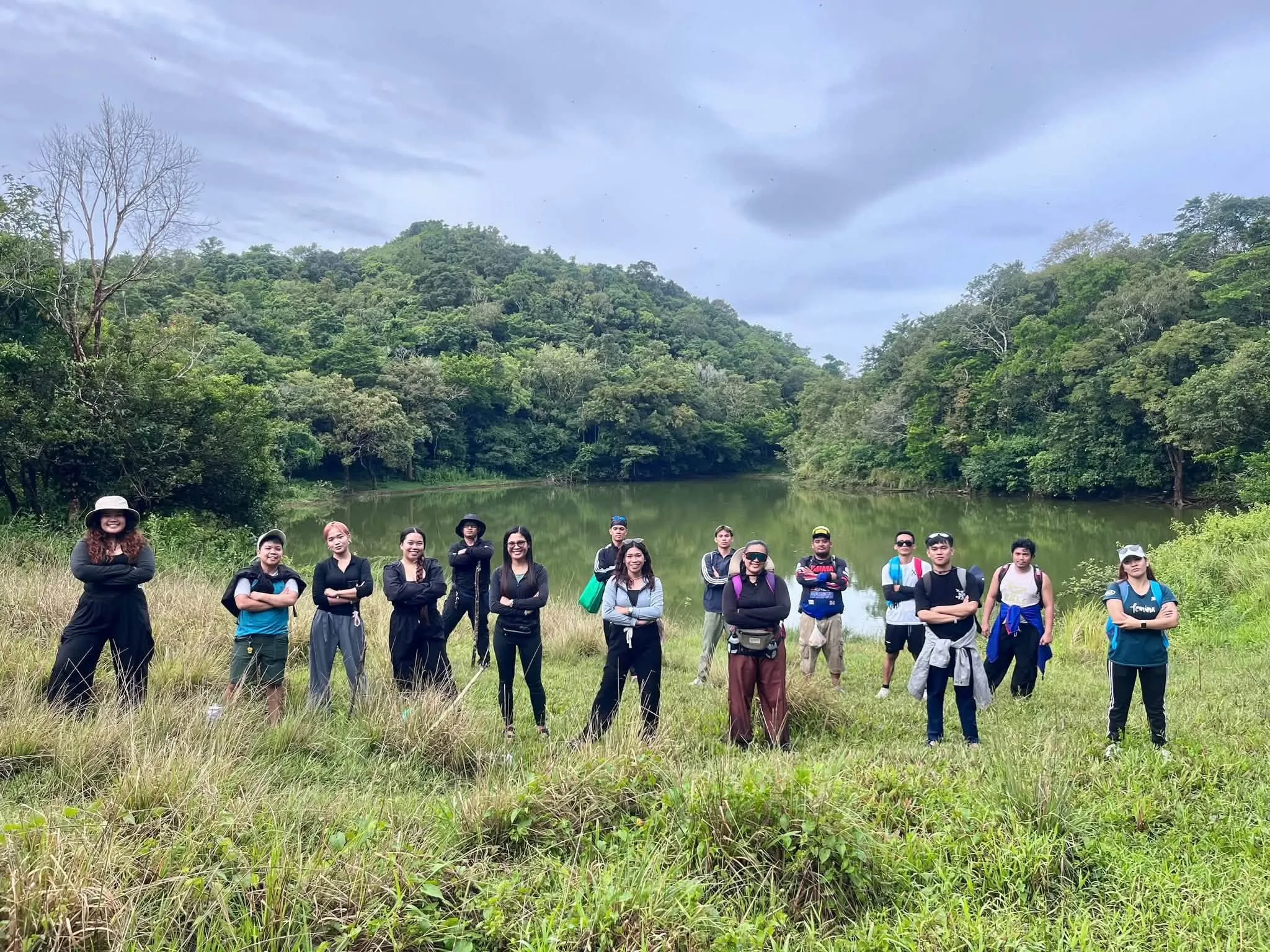
Among Philippine hiking communities, Mt. Manaphag has earned a formidable reputation as one of the steepest and most challenging climbs in the country. Though modest in elevation compared to major volcanic peaks, its vertical profile demands serious technical skill, physical endurance, and mental toughness from those who attempt it.
Climbing requires scrambling up nearly 90-degree inclines, clinging to exposed tree roots, and navigating dense, unmarked wilderness. There is no paved trail to the top; hikers must rely on experienced local guides from Barangay Tambaliza to blaze a path through the brush. Reaching the summit offers an unparalleled sense of accomplishment.
Community, Heritage, and Ecotourism
Mt. Manaphag is the heart of Concepcion's cultural identity and ecotourism efforts. The mountain features prominently during the annual Tampisaw Festival, celebrated during the fourth week of April to champion environmental preservation and island heritage. Visitors reach Pan de Azucar Island via a 30-minute outrigger boat ride from mainland Concepcion's fish port.
Community-led ecotourism initiatives ensure that visitors practice responsible trekking, helping protect both the mountain's fragile flora and the marine life lining its shores. As sunset casts golden light across the waters, the massive silhouette of Mt. Manaphag darkens into a proud guardian over the Visayan Sea, inviting all who pass to admire its beauty and respect its wild spirit.