DAVAO — Tucked away in the emerald hinterlands of Barangay Tawan-Tawan, Baguio District, lies one of Mindanao's best-kept geological secrets. Mt. Tipolog, known to local mountaineers as "The Lost Volcano," rises approximately 1,340 meters above sea level, offering a distinctive eco-tourism experience for conscious adventurers.
A Geological Marvel Older Than Mt. Apo
While trekkers typically flock to Mt. Apo and Mt. Talomo, Mt. Tipolog stands quietly as the third volcanic peak in Davao City. Despite being the shortest among the trio, the Department of Environment and Natural Resources identifies it as geologically older than Mt. Apo itself. Its ancient volcanic origin shaped the region's landscape over millennia, creating nutrient-rich soil that now nourishes dense rainforests and agricultural slopes.
Guardian of Davao's Water Supply
Mt. Tipolog serves a critical hydrological function for the city. Its forested slopes feed the Panigan-Tamugan River system, identified by environmental scientists and the Davao City Water District as the region's primary long-term source of clean drinking water. Protecting the mountain from deforestation and unsanctioned farming is not merely a local concern but a matter of ecological security for hundreds of thousands of residents downstream.
Indigenous Stewardship and Community Heritage
The ancestral domain surrounding Sitio Kaunlaran is stewarded by local tribal leaders and Lumad communities. For these indigenous inhabitants, the mountain is an ancestral provider and a sacred sanctuary. Community-based eco-tourism initiatives ensure that mountaineering directly supports local livelihoods through registration fees and guide services.
Buffer zones along the Panigan River are regularly reforested through collaborative tree-planting climbs organized by mountaineering groups and tribal councils. These initiatives prevent agricultural runoff and preserve native flora, demonstrating how regulated trekking can catalyze community-led conservation.
The Trekking Experience
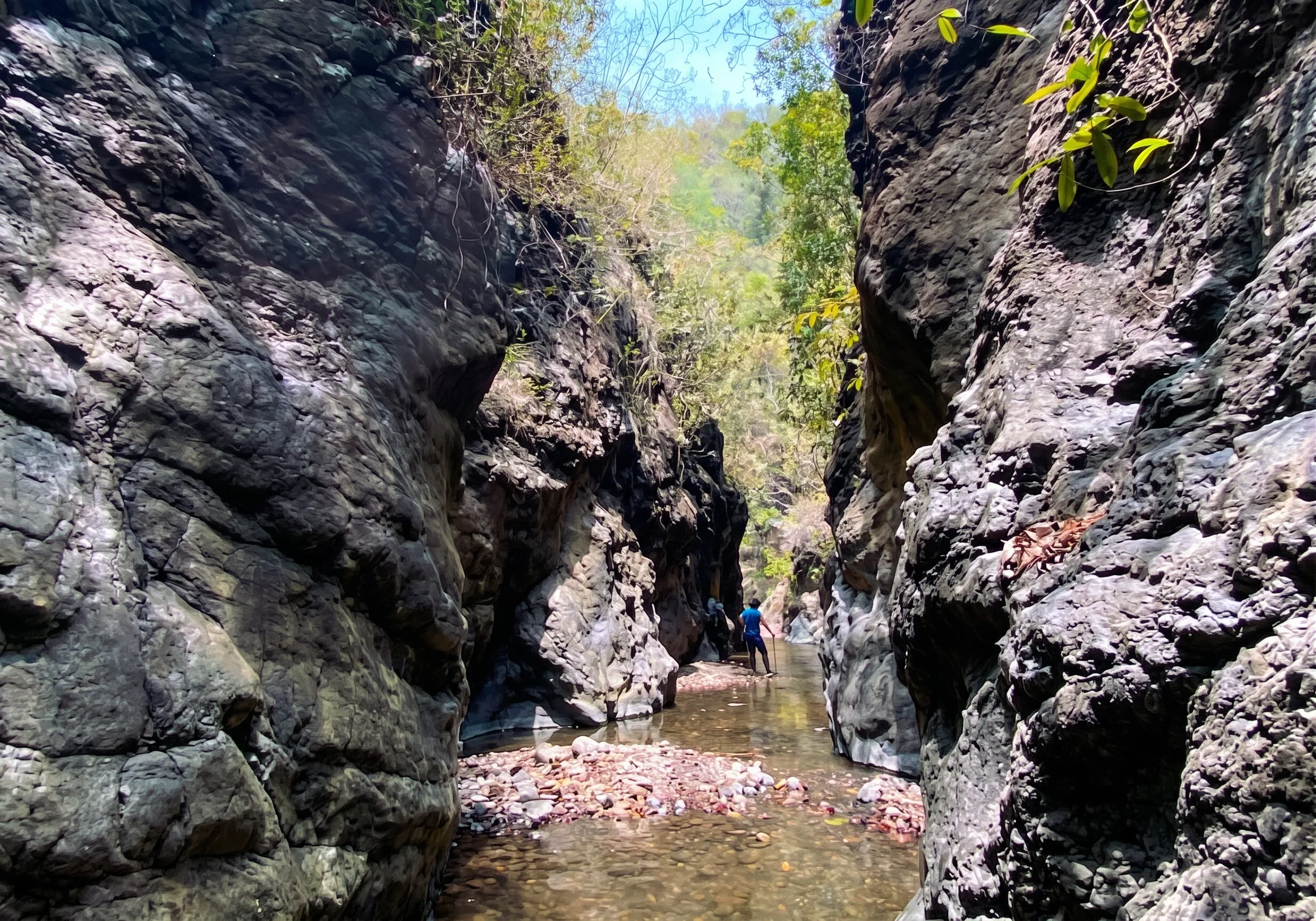
The journey begins in the agricultural foothills of Sitio Kaunlaran, where hikers navigate farm paths shaded by cacao trees and banana groves before entering the forest canopy. Once inside the mossy forest zone, the terrain steepens significantly, with roots creating natural footholds on long assaults.
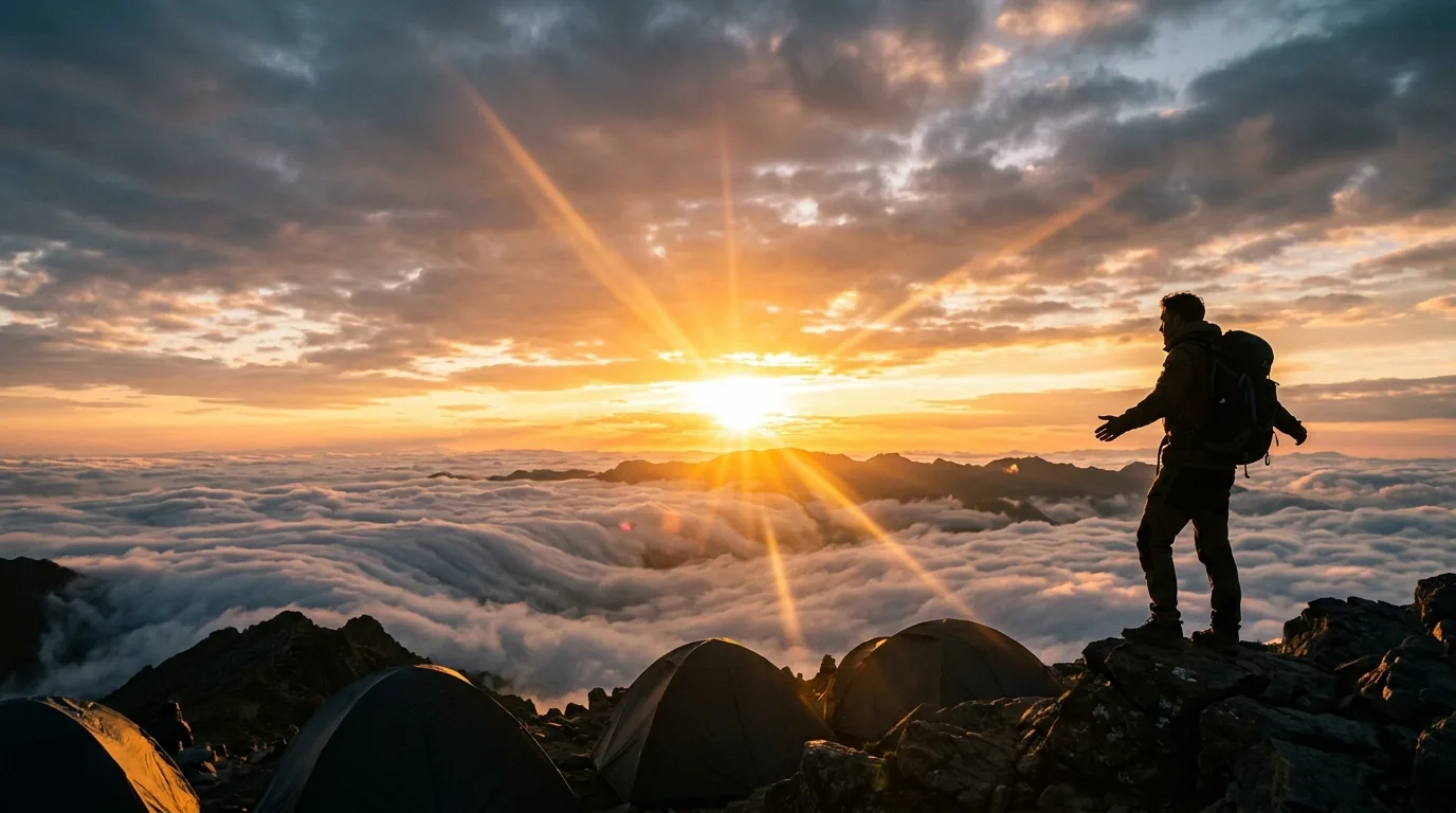
The summit offers dramatic 360-degree views. Clear skies reveal the towering profiles of Mt. Apo and Mt. Talomo, while nighttime brings the glowing urban lights of Davao City far below. Dawn treats campers to an ethereal sea of clouds drifting across the valleys. Hikers must carry sufficient water as no natural spring exists at the summit.
Guidelines for Responsible Trekking
Visitors must coordinate with local authorities and tribal leaders before climbing. Hiring accredited local guides is mandatory to support the community and ensure safety. Strict Leave No Trace principles apply, with single-use plastics strongly discouraged to safeguard the watershed.
Weather preparedness is essential, with rain gear, sturdy boots, and trekking poles recommended for the challenging terrain. Cultural sensitivity is paramount, requiring respect for tribal customs and permission before photographing residents or ritual sites.