Understanding What Flood Maps Reveal
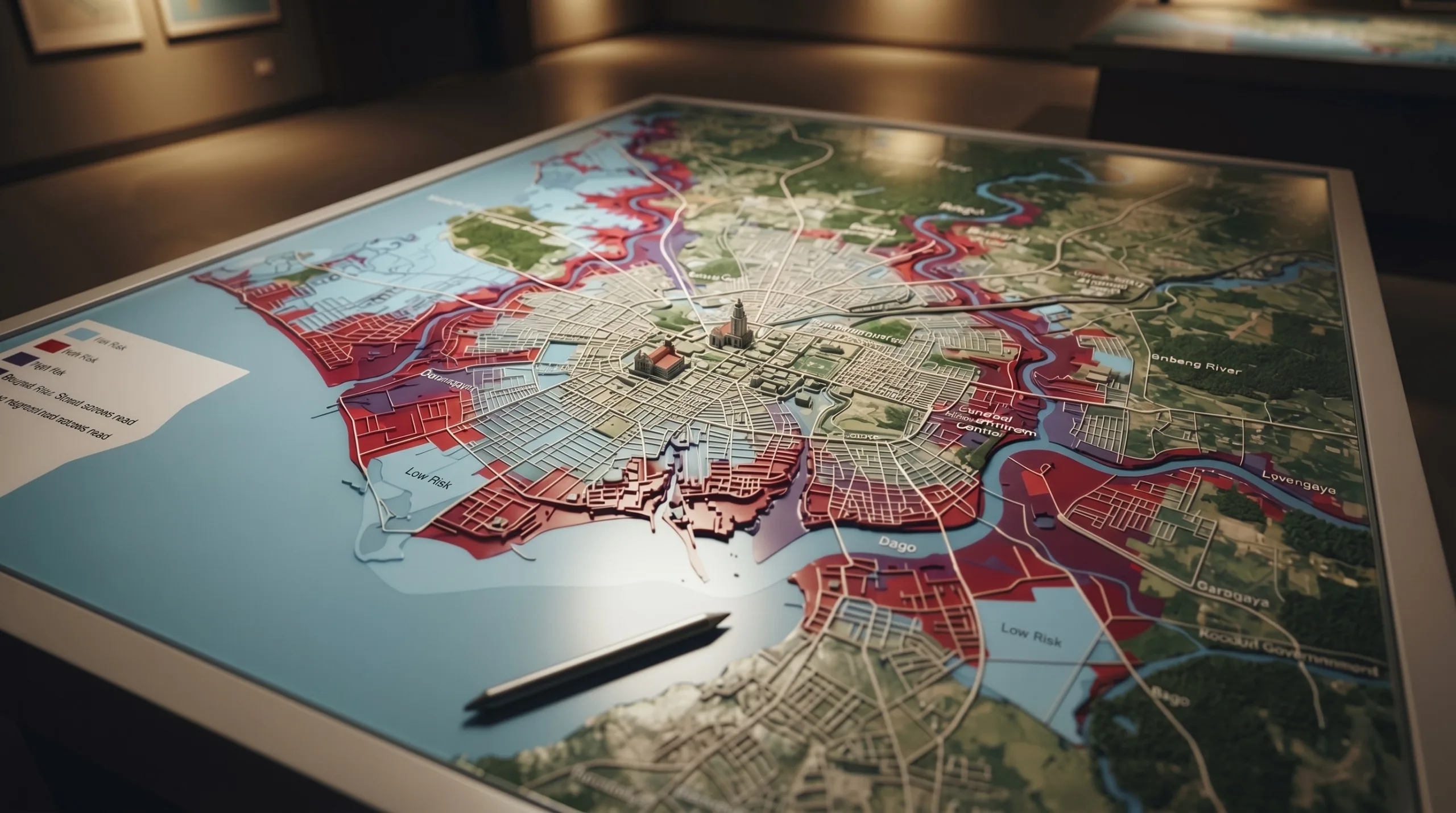
BACOLOD - Flood maps show areas that may be susceptible to flooding based on available geographic, environmental, and hazard information. They can help families compare potential residential locations and identify areas that deserve closer inspection. Bacolod City's Comprehensive Land Use Plan and zoning documents include a flood hazard overlay identifying areas with different levels of flood susceptibility. The documents identify coastal and low-lying locations, including Banago, portions of Singcang, Pahanocoy, Punta Taytay, Tangub, and Sum-ag, as areas of concern, while also noting flooding in parts of Bata, Mandalagan, Taculing, and Villamonte. These references are useful for initial research, but they should not be treated as a definitive assessment of every property within a barangay.
Checking the Neighborhood Beyond the Map
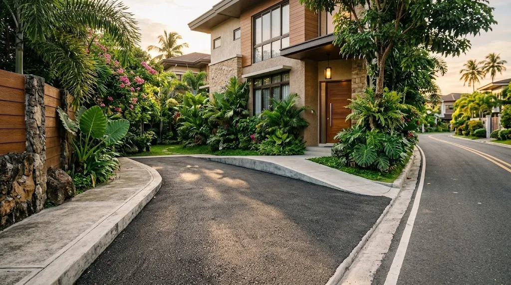
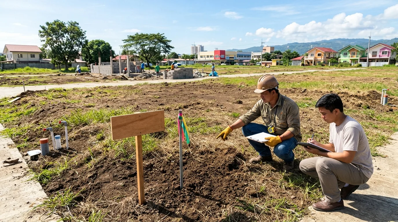
A flood map becomes more useful when combined with an actual visit to the property and its surrounding streets. Families considering homes in areas such as Alijis, Mansilingan, Mandalagan, or Villamonte can observe road elevations, nearby waterways, drainage canals, and the condition of access routes. Asking current residents about previous flooding, water depth, how quickly streets drain, and whether roads become impassable during heavy rain can provide additional context. It is also helpful to check the property's ground-floor elevation, parking area, electrical installations, and possible evacuation routes. The government-supported HazardHunterPH platform allows users to assess a selected location for several natural hazards, including flooding, and generate a hazard assessment report.
Making More Informed Residential Decisions
Flood maps should be one part of a broader homebuying or rental checklist rather than the only basis for choosing a neighborhood. Families can compare several properties, review local planning documents, consult barangay disaster risk reduction personnel, and ask developers or property owners about drainage design and previous flood incidents. They should also remember that maps have limitations: conditions can change because of new construction, drainage improvements, land development, or changing weather patterns. HazardHunterPH itself advises users to consider data limitations and verify the mapped information. By combining map research with on-site observations and reliable local information, families can better understand potential risks, prepare for emergencies, and make residential decisions with greater confidence.